
Every 10 years, the redrawing of Congressional, state legislative, and city/county council districts takes place after the report from the Census Bureau comes out, telling us how many people are in our country, among other data points.
Once those figures come out, at least for Hawaii, a redistricting commission is appointed to look over the numbers. For Hawaii, there are two different commissions. One is for the statewide offices (House, Senate, Congressional). Members to that are appointed by the current sitting state house chair.

PC City and County of Honolulu reapportionment commission website at Final Reapportionment Plan – Google Drive
For the counties, they have their appointment procedure of which (for Honolulu) councilmembers in the 9 districts appoint one person each to be on the county commission.
And then they get to work. Most times it’s filled with very little fanfare, at least until the maps come out. And by this humble writer’s recollection, even when that happens, it’s typically a sleeper of an announcement that elicits a little fanfare.
This year’s maps, though, are starting to attract more interest than typical. Over the past month, both the statewide and county commissions have come out with proposed maps that, in some cases, radically change the electoral landscape of both state and county districts. From the merging of Mililani and Mililani Mauka and then shifting all of that area to the council district that overseas Pearl City; to the obliteration of a house district in Manoa, dividing up like how Germany was divided after World War II.
Needless to say, there are going to be more people looking at their ballots next year wondering “eh, my rep (or councilmember) is not on the ballot, what’s up?” Or to several people “eh, why am I voting for a council member again when I just voted for one or two years ago”.
So what is going on? Well, unlike some other places in the country in which extreme gerrymandering takes place, manipulating the district lines to exclude a voting block in a more traditional area while keeping to limits on population in a district and keeping the one-man, one-vote rule alive, that is not what is happening in Hawaii.
Several reports and anecdotal stories told to this writer tell me that powerful individuals who have their power plans are influencing moves that lead to the redrawn maps. For instance, it’s been said that House Speaker Scott Saiki is influencing the redrawing of districts of those house members that are in the minority.
In some cases, the redrawing of House districts will force incumbents in current districts to move houses to another area that would be part of the new district. These moves have more the feel of one gang who has more power over a neighborhood making moves on smaller gangs, to take over their turf.
The voters, of course, are the victims of moves like this. But it seems that those making these choices don’t particularly care about what the voters think or feel over all this.
As for the county lines, in Honolulu at least, there has been an enhanced, if still subtle, level of drama in the redrawing of lines. Unlike house and senate districts, where redistricting automatically requires all seats to go up for election after the lines are drawn, Honolulu City Council seats have staggered terms – even-numbered districts are voted on one election cycle; odd-number is done two years later. Because of that, any redistricting will move voters from one district to the other and will either force a new councilmember choice or keep voters from voting for another two years, the councilmember of the district they have just been assigned to.
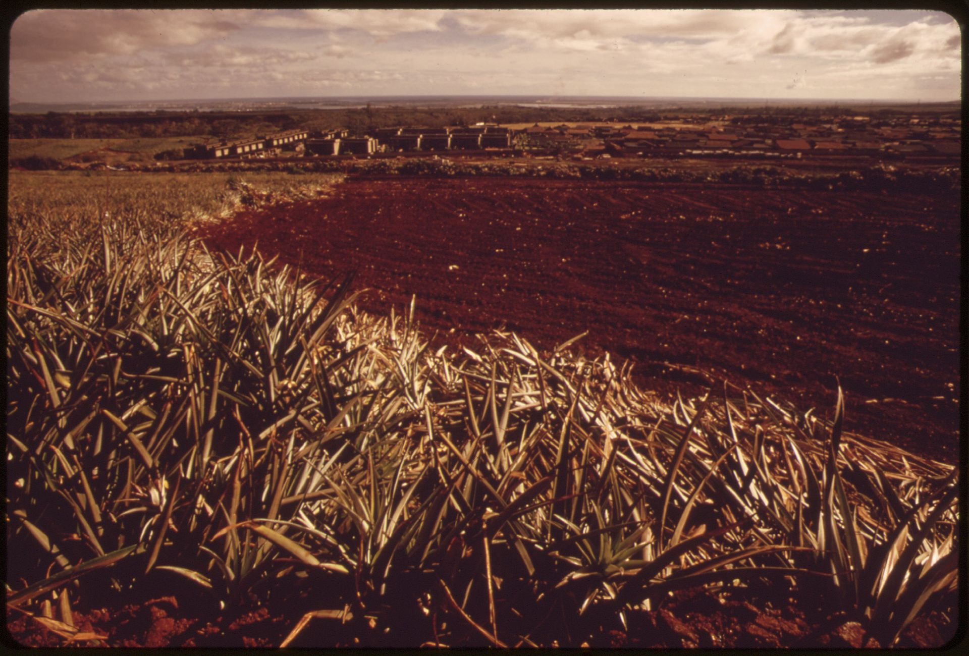
PC: Pineapple fields in Mililani Town, 1973. Photo by Charles O’Rear. from PINEAPPLE FIELDS IN MILILANI TOWN. PINEAPPLE GROWERS HAVE BEEN DEVELOPING “SURPLUS LAND” SINCE 1958. OF A PROPOSED… – NARA – 553697 – Mililani, Hawaii – Wikipedia
In some cases, large swaths of the island are about to experience this. Take for instance the Mililani area of Oahu. Situated in the middle of the island between the Koolau and Waianae mountain ranges, the community has grown over the last fifty years to be one of the key suburbs of Honolulu.
The community grew so much that it expanded eastward in the 1980s creating an area called “Mililani Mauka”. When that community got established, it was placed in a separate council area than that of Mililani proper. So by just crossing the freeway, you would move from one council district to another, complete with a different councilmember, and their focus.
In the most recent hearings to determine new district lines, there were a few people who advocated for the merging of Mililani Mauka and Mililani. Not settled with that, then there was a call to take the entire area and have the district represented by the Pearl City district rather than the north shore district.
It was a radical move just by merging, it fundamentally changes the nature of the entire district by moving it from the north shore to Pearl City. With this move, an entire swath of Mililani proper will not only need to vote again for a new council member representing the area but also take into account the fact that it will need to compete for its attention to the Councilmember against a more established, larger area of Pearl City.
See how that works? And see how it will change the nature of an area?
With the maps drafted, the public outreach period has started at both the state and county levels. Keep in mind those who attend will get their chance to say their piece. And those who don’t, well, they will live with whatever is decided.